 Arctic Council Working Group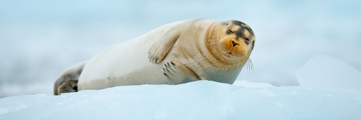
Planning tool for area-based conservation of Arctic species and ecosystems: A case study on ice-dependent species
Supporting consideration and prioritization in marine planning and management, taking into consideration climate change and human use.
Project Summary
The main objective of the project is to develop a tool for identifying Arctic areas of conservation priority for sea ice-dependent species to support their consideration and prioritization in marine planning and management, taking into consideration climate change and human use.
The planning tool will be developed through a cooperative staged approach:
Phase 1
Horizon scan and scoping
Phase 2
Data portal and atlas
Phase 3
Spatial planning app
Ultimately, the proposed tool could be expanded to cover a wider selection of conservation features, allowing for a more comprehensive pan-Arctic analysis to support the planning and development of a climate-resilient network of area-based conservation measures, such as Marine Protected Areas, Other Effective Area-Based Conservation Measures and Indigenous Protected and Conserved Areas.
A staged approach will allow for an adaptive workplan and the active involvement of Permanent Participants, who will be invited to inform the early stages of project planning. The project will be based on the best available knowledge that will be made accessible through an interactive interface. The project will seek to include Indigenous Knowledge and local knowledge at all phases.
Phase 3, spatial analysis and prioritization, will be based on the tool developed under the Convention on the Conservation of Antarctic Marine Living Resources (CCAMLR) for the planning of the Weddell Sea Marine Protected Area Phase 2 (see here). This tool has proven successful and appreciated for its flexibility, speed, and suitability for interactive exploration of conservation scenarios.
Background
Ecosystem-based Management (EBM) is place-based, and various steps in the management cycle require spatial information to be effective and adaptive. Spatial management measures are therefore an important part of the toolbox to implement EBM and are the components of a pan-Arctic network of conservation measures (PAME 2015).
The goal of area-based conservation planning is to ensure that all conservation features are adequately represented in protected and conserved areas. By also including the present and projected future spatial distribution of human activities, it is possible to explore spatial solutions that minimize conflict with human use and promote sustainable use of ecosystems. Marine area-based conservation planning can be based on:
- a specified geographical planning area;
- conservation objectives with associated conservation features and representative targets;
- potential cost/consequences and benefits for existing and projected human use of the planning area;
- spatial prioritization to support decisions on conservation planning.
Seasonally or permanently ice-covered Arctic marine areas provide for a globally unique ecosystem with habitats and specialized food webs that rely fully or in part on the presence of sea ice. Species and ecosystems linked to sea ice are highly vulnerable to rapid ongoing climate change, and as recommended in CAFFs Life Linked to Ice report (2013), Arctic Biodiversity Assessment (2013), and the State of the Arctic Marine Biodiversity Report (2017), their conservation requirements will likely become an increasing priority. For these reasons, sea ice-dependent species have been selected as a priority case study for this planning tool.
Key Objectives
Tasks and Activities
Define Planning Area
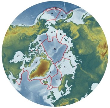
This project includes all 18 Large Marine Ecosystems in the initial horizon scan and scoping phase, allowing for an adaptive planning area covering up to 19.38 million km2. Phase 1 may prioritize combinations of LMEs based on methodological feasibility and relevance to the project objectives.
Identify Conservation Features
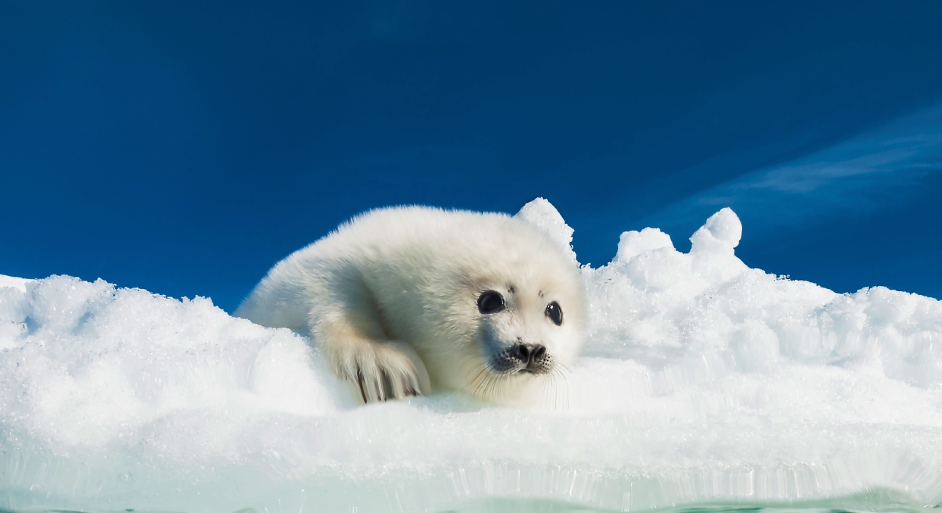
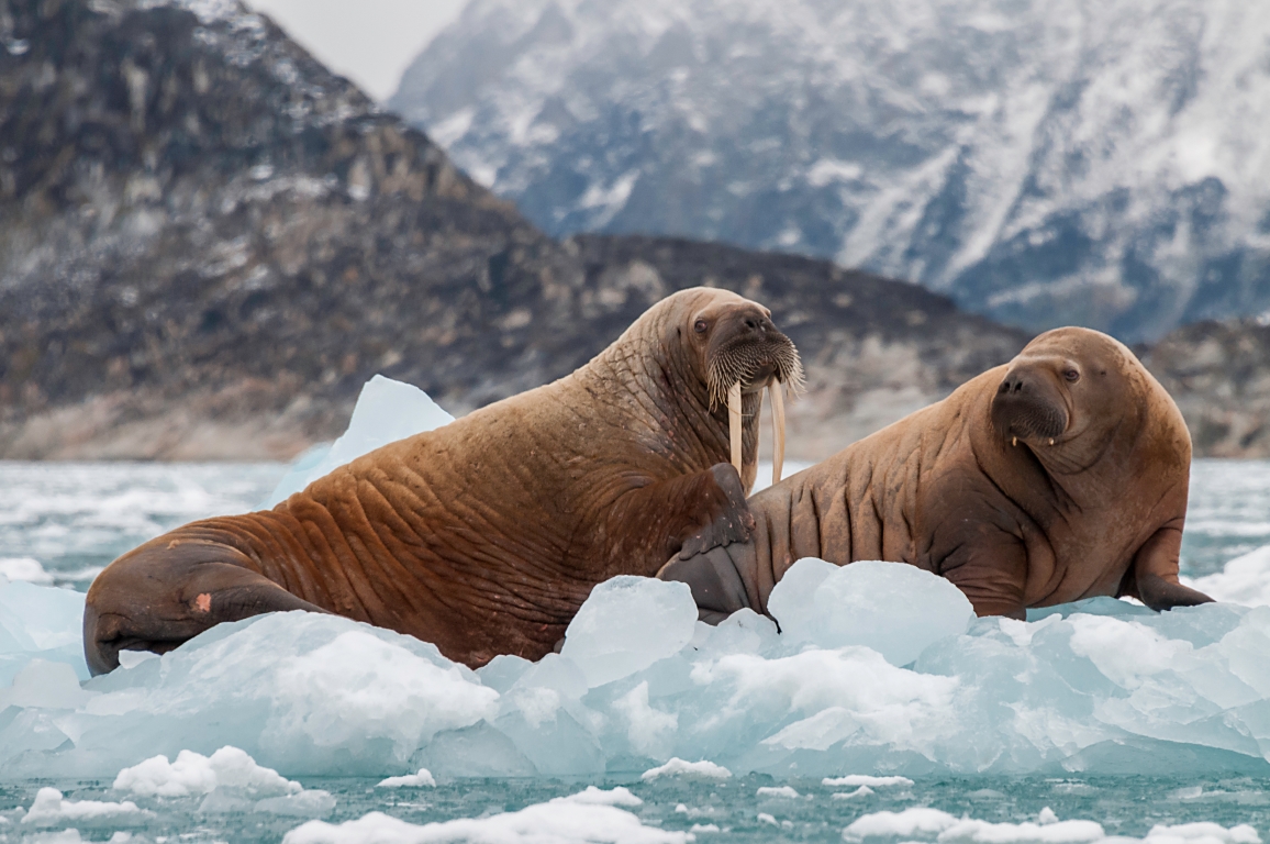
The case study focuses on sea ice-dependent species — seabirds and marine mammals dependent on sea ice habitat and the marginal ice-zone (MIZ) in at least part of their life cycle. Phase 1 will also scan existing national and pan-Arctic datasets, including the ArcNet database developed under the lead of WWF.
Develop Climate Change & Human Use Scenarios
Climate change impact scenarios will be developed using CMIP6 and IPCC AR6 SSPs. Future scenarios of human activity — including commercial fisheries, ship traffic, mineral extraction, oil and gas, tourism, and subsistence harvesting — will be projected in parallel, expanding on methodology from the Weddell Sea MPA Phase 2 (WSMPA2).
Spatial Prioritization & Planning Tool
Building on the interactive tool from WSMPA2, this project will use the R package “prioritizr” and “the minimum set objective function” to identify areas of high conservation priority while allowing exploration of solutions that consider cost/consequences and benefits to people.
Potential Future Development(s)
Rooted in Open and Reproducible Science, the FAIR Data Principles, and the CARE Principles for Indigenous Data Governance, any outcome of this project will lay the methodological and collaborative foundation for future inclusion of additional LMEs, conservation features, and human use beyond the scope of this case study.
Priority Species
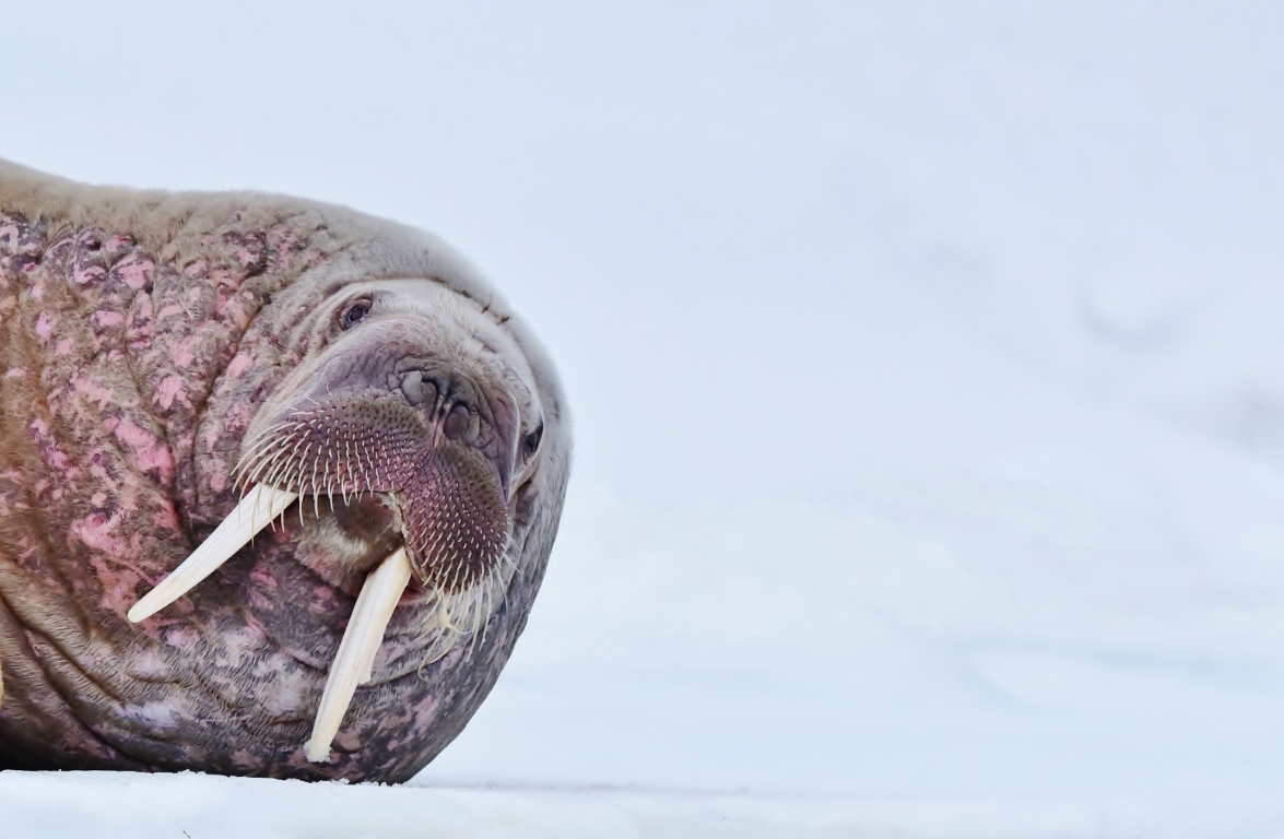
The potential priority list of sea ice-associated Arctic seabird and mammal species includes those dependent on sea ice habitat and the marginal ice-zone (MIZ) in at least part of their life cycle. Adaptations will be made during Phase 1’s horizon scan and scoping, identifying combinations of LMEs and species of higher methodological or conceptual feasibility.
Climate Change and Human Use
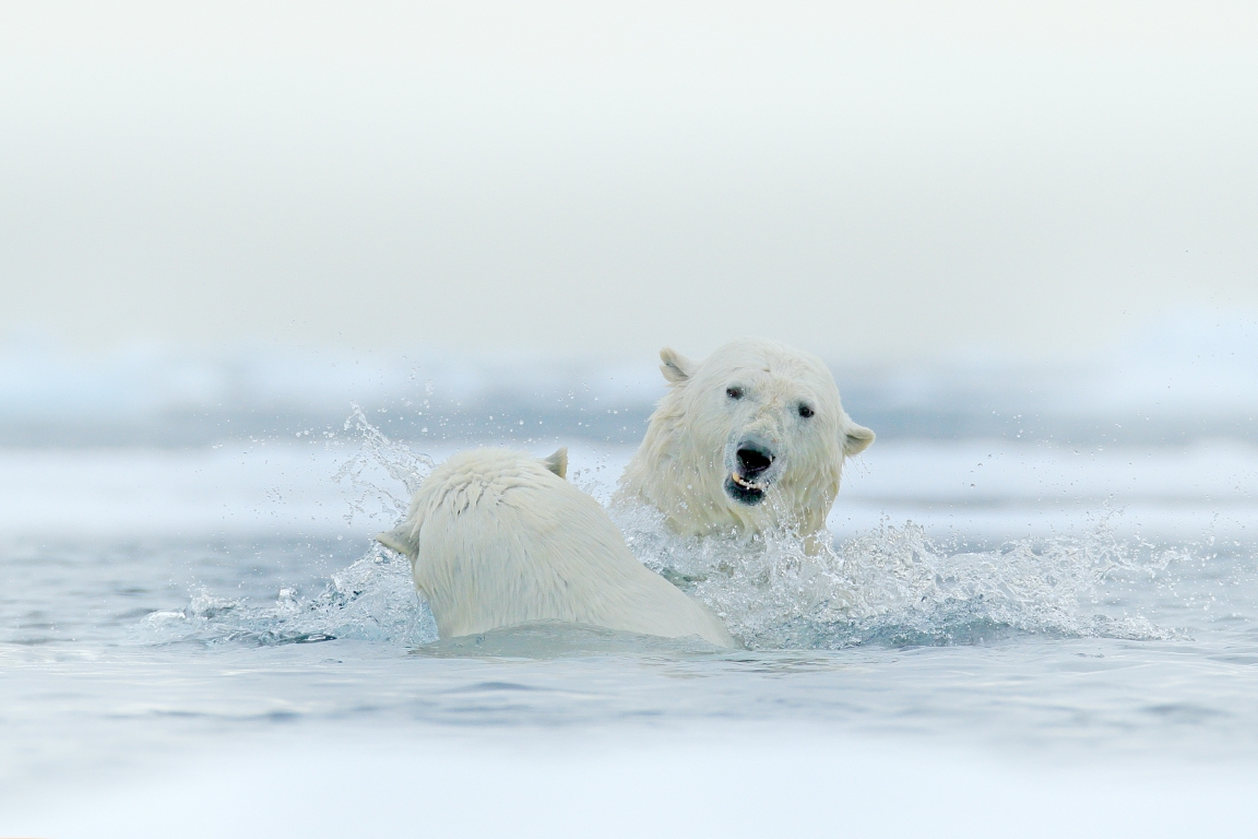
According to the IPCC sixth Assessment Report (IPCC AR6), the Arctic Ocean will likely become practically sea ice-free during the seasonal minimum for the first time before 2050 in all global Greenhouse Gas Emission Scenarios. Such projections will affect both conservation features and human use, making it crucial to inform the overall spatial identification and prioritization processes with ongoing and anticipated future climate change.
Climate change impact scenarios will be developed using a range of environmental variables predicted by the most updated Coupled Model Intercomparison Project (CMIP6) and IPCC AR6 SSPs. Future scenarios of change in human activities will be projected using existing time series and forecasted development of human activities. This project is inclusive towards commercial fisheries, ship traffic, mineral extraction, oil- and gas activities, tourism and subsistence harvesting.
Timeline and Major Milestones
Phase 1 (Year 1) – Horizon Scan and Scoping
- Scope how Permanent Participants will contribute — Indigenous Knowledge and local knowledge will be incorporated at every phase, including defining conservation objectives, selecting conservation features, and identifying user needs for the interactive data portal.
- Screen existing databases and data layers — The project aims at using existing data from databases and portals across countries and Arctic Council Working Groups (CAFF, PAME, AMAP), including the pan-Arctic ArcNet database developed by WWF.
- Adapt the scope of this project — Outcomes will identify combinations of LMEs, conservation features, and human use factors of higher technical feasibility or conceptual priority, feeding into Phase 2 and 3.
Phase 2 (Year 2) – Data Portal and Atlas
- Collate and harmonize data — Environmental, species distribution and human use data at the appropriate spatial and temporal scale will be compiled, harmonized and quality-checked.
- Select and develop spatial layers — Data will feed into Habitat Suitability Models (HSMs) to model year-round species niches and identify potential Areas of Ecological Significance (AESs). Models already exist for Atlantic Sector seabird (SEATRACK) and marine mammal species.
- Develop an interactive data portal and atlas — All Phase 2 outcomes will be available in an interactive data portal and atlas (see WSMPA2 example).
Phase 3 (Years 3–4) – Spatial Planning App
- Define overall conservation objectives — Objectives will be formulated in consultation with Arctic Council Working Groups and Permanent Participants, guided by PAME’s Framework for a pan-Arctic Marine Conservation Network, covering MPAs, OECMs, IPCAs, PSSAs, EBSAs, KBAs, IMMAs, and areas of heightened ecological or cultural significance.
- Develop scenarios of future environmental change and human use — Changes will be predicted and projected up to 2100 to allow the spatial planning app to account for anticipated climate and human use change.
- Develop a spatial planning app — An interactive web app allowing exploration and identification of potential spatial planning scenarios, using the same interface as the WSMPA2.
Project Team / Lead(s)
Lead: Norway / Norwegian Polar Institute
Co-leads: Canada, Kingdom of Denmark, World Wide Fund for Nature
During Phase 1, both the project content and partners will be further formulated, in addition to establishing an inclusive project group of experts. Permanent Participants are invited to contribute and participate in the project.